
Wesley Woods is 0.6 acres. Small on paper. Large when you are pulling vines by hand.
This plan is the five-year arc behind the weekend work — how native woodland, wetland, paths, and soil fit together on one suburban lot.
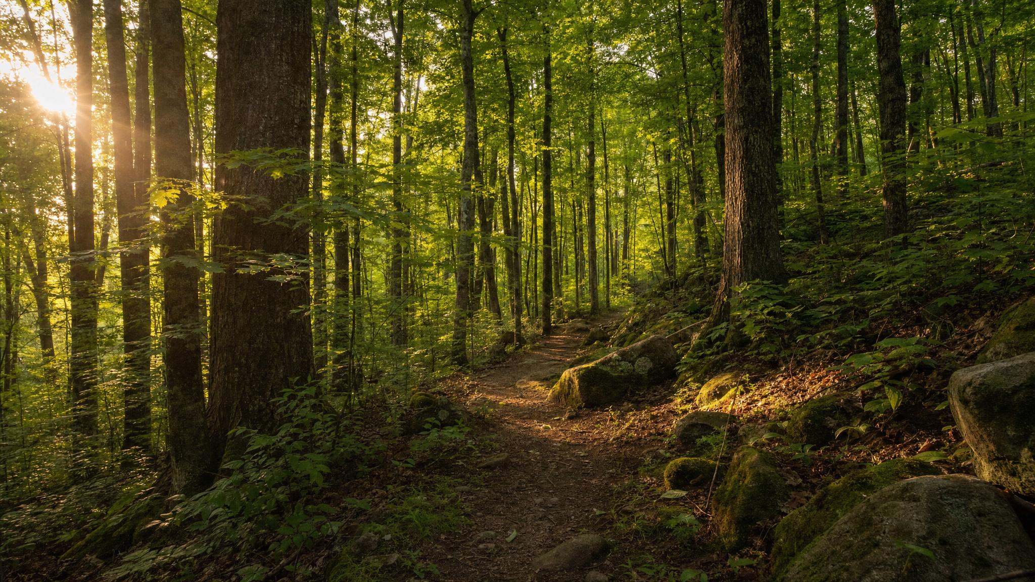
Year 1–2 — See and stabilize
- Map what is here — maples, creek, pond, slope, oak seed in the soil
- Clear paths — safe footing, drainage visible, no tripping hazards
- Invasive first pass — vines on maples, barberry edges, pile management per combustible brush rules
- Stop active erosion — contour logs, keep water moving cleanly
Year 2–3 — Water and light
- Wetland margin — lily pond stewardship, culvert clarity, no sediment dump
- Canopy openings — sun for oaks and apples, not lawn conversion
- Trail finish — hand-built access on the 25-foot grade
- Document for permits when grading touches ROW — tree preservation, 360° site capture
Year 3–5 — Living topsoil
- Leaf and stick cycles on-site — compost, not export
- Native understory returns where invasives retreat
- Oak and apple plantings in cleared sun
- Topsoil depth measured by color, worms, and what volunteers — see topsoil building science
What success looks like
- You can walk the lot without guessing where the trail is
- Water runs clear through the creek line after rain
- Maples stand free of strangling vines
- Soil reads dark and alive, not powder
- The place feels like Ohio woodland, not abandoned edge
This extends The 2026 Plan into a longer horizon. Same ethic: private land, active care, no fanfare.