Restoration land is math you can walk. Ditches, trenches, grading lines, and fill volumes decide whether water stays calm or cuts a new channel every storm.
Ditches and trenches
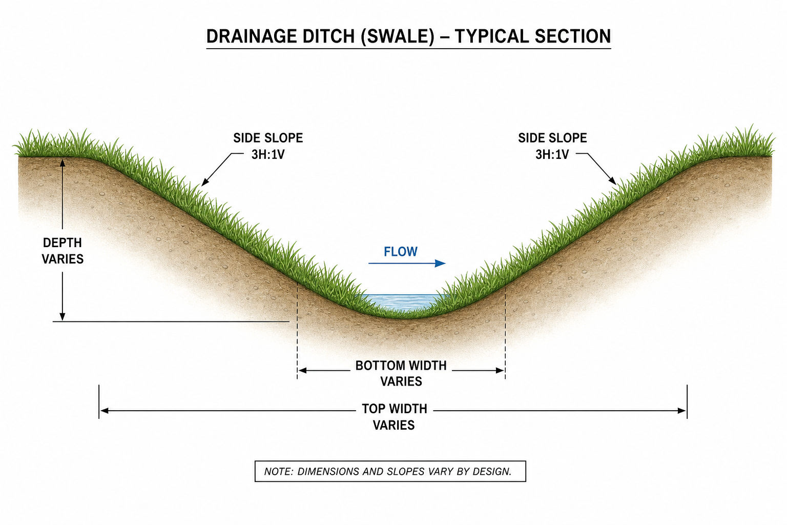
- Ditch — shallow, open, follows contour or a designed swale; moves sheet flow
- Trench — deeper, narrow, often for pipe or conduit; needs bedding and backfill spec
- Match slope to soil: too steep erodes; too flat ponds
Topology and fill
Before machines move:
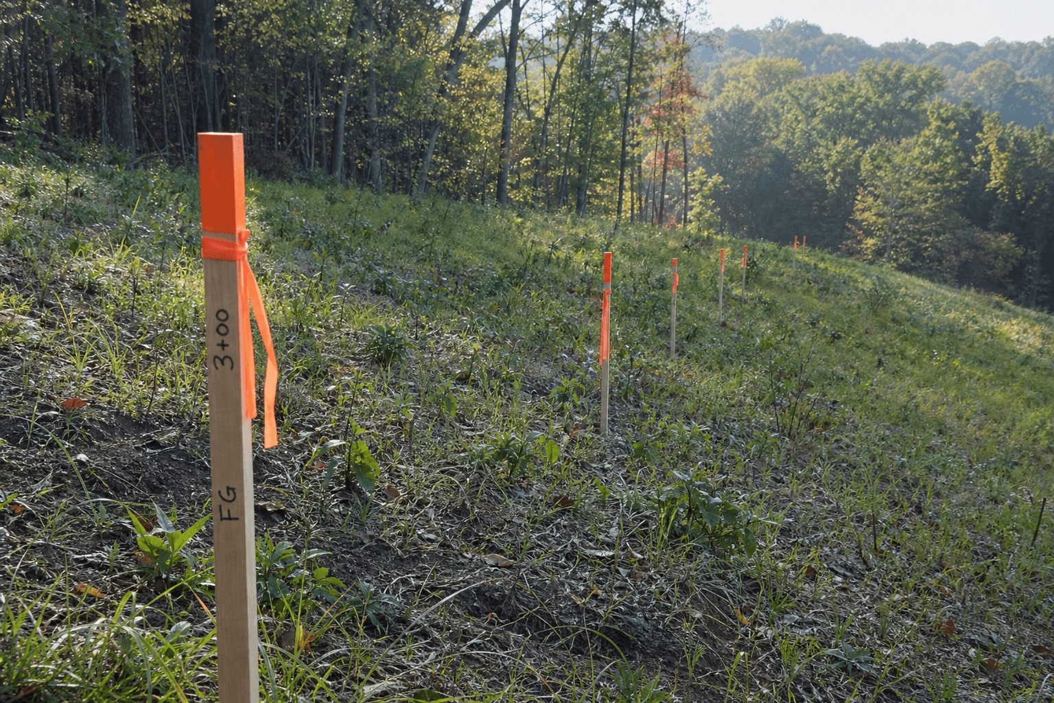
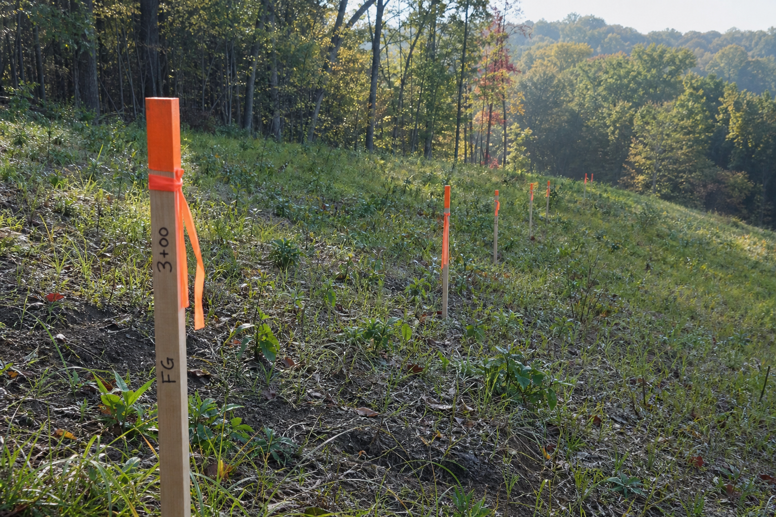
- Shoot existing elevations (laser, level, or photogrammetry walk)
- Draw cut (remove) and fill (add) zones on the plat
- Balance volumes where you can — hauling off-site costs more than good planning
Hillside stabilization pairs grade work with living cover: coir mat, native seed, or log barriers uphill of any fresh cut.
City tie-in
Strongsville grading and storm drainage plans often ride together on the same permit packet. Show your contours clearly — the Forester and Engineering reviewers read the same lines you stake in the field.
Good grading feels invisible once grass and maples return. Bad grading announces itself at the first hard rain.