When upland water has nowhere to go, it cuts gullies. A designed surface or shallow trench can move flow toward an approved storm connection — if grade, erosion, and city rules are respected.
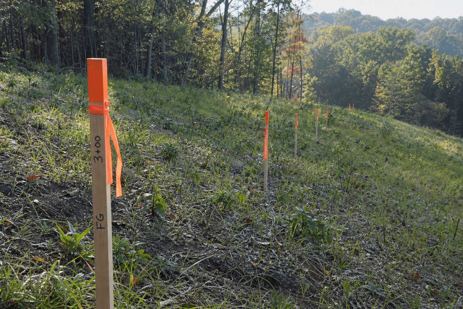
This article frames a 600 ft run with 30 ft total drop — average 5% slope — toward a storm drain.
Hover or tap the circles on this image to view product details.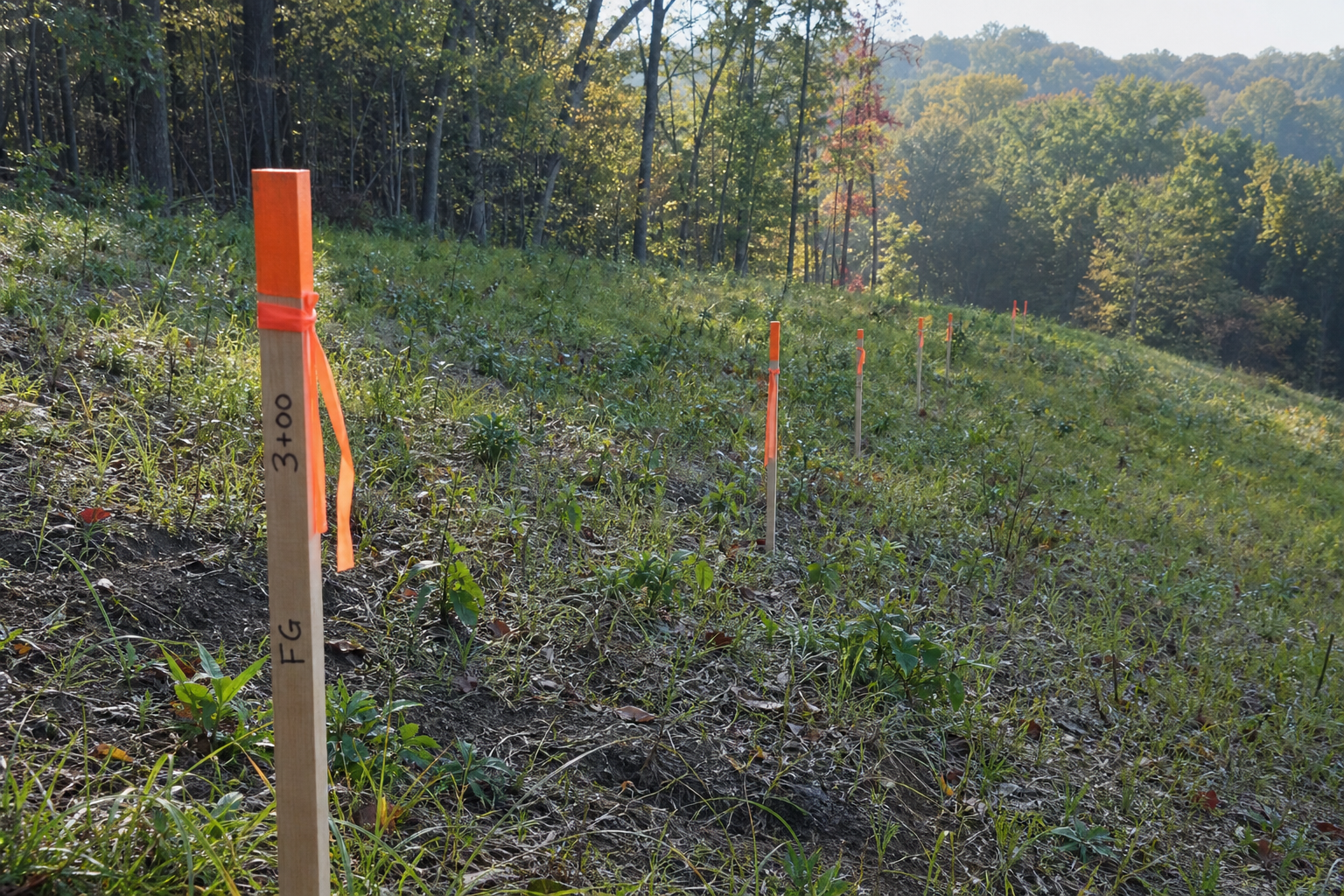
Grade check
- 30 ft ÷ 600 ft = 0.05 = 5% — within many swale design ranges
- Steeper sections need energy dissipation — rip rap, check dams, vegetated toes
- Low points must not undercut maple roots or destabilize slope — trail slope work
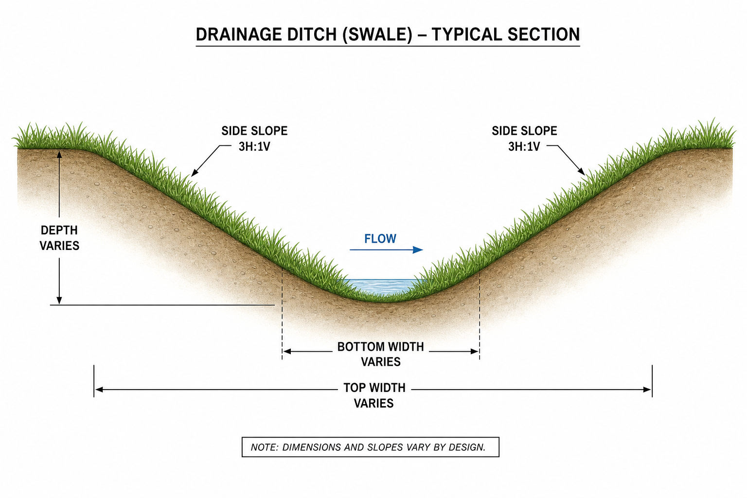
Design basics
| Element | Purpose |
|---|---|
| Shallow swale | Sheet flow collection, not a deep canyon |
| Grass or native mix in trench bottom | Slow velocity, filter sediment |
| Rock at outlets | Prevent storm drain undercut |
| Sediment trap upstream | Keep silt out of municipal system |
Volume and fill
Cut and fill along the run ties to grading topology and fill tonnage math. Do not guess truck loads.
Permits and responsible connection
- Strongsville grading / stormwater review likely for long runs and drain tie-in — see historic canal drainage permit story
- 600 ft crosses multiple land contexts — document on site plan
- Connection to public storm is not a private hose — city standard details apply
Woodland cautions
- Route around mature maples where possible — root trenching kills trees
- Seasonal flow only vs. perennial channel — design for the 2-year storm, not just dry days
- Maintain access for combustible brush clearing along the run
Water off the hill. Soil on the hill. Storm system gets clean, slow flow — not a mud hose after every rain.