
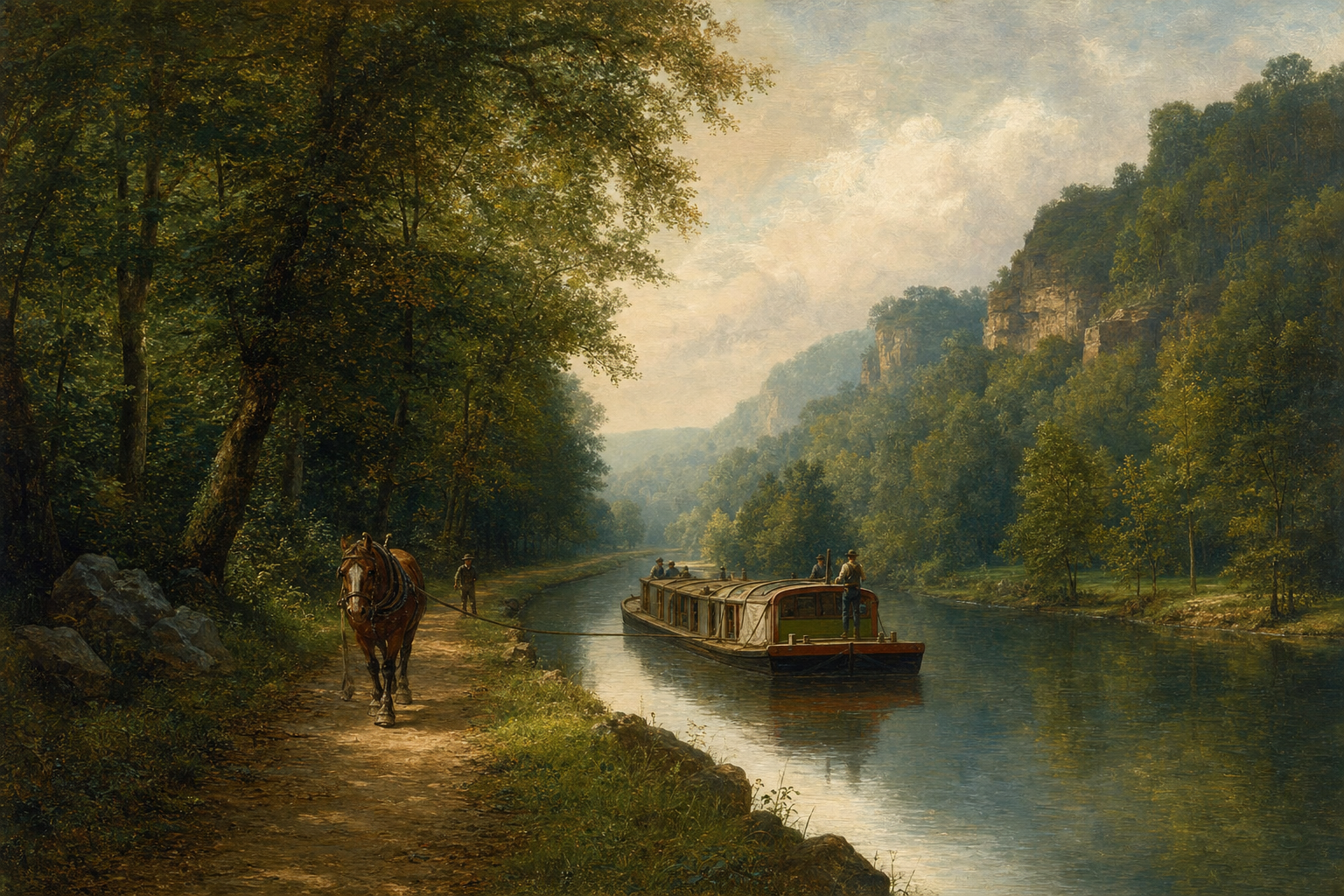
Strongsville sits on land that was almost all forest before European settlement — beech-maple on moist ground, oak-hickory on drier ridges, wet meadows in low pockets. By the 1800s: farms, mills, and the Ohio & Erie Canal cut through it.
Pre-colonial picture
- Closed canopy maple and beech on rich glacial soil
- Oak openings and savanna on south-facing dry slopes — fire and Native stewardship maintained openings
- Creeks with sedge, willow, ash; beaver in slow reaches
- No road ROW — trail systems and river travel instead
1800s change
- Clearing for agriculture — stumps, stone fences, wheat then pasture
- Canal and mill ponds — permanent water engineering — see canal builder day
- Oak removed for timber and fuel — many farm woodlots are second-growth maple today
- Town grids — streets replace foot paths; centerline trees come down
That is one reason Wesley Woods reads as maple woods with oak seed in the soil but no parent oak on the lot.
Why it matters now
- Native oaks belong in the mix — not exotic landscaping
- Wetland toe on the lot echoes old pocket swamps
- ROW and monuments mark where engineering replaced trees — monument boxes
- Small private restoration reconnects fragments — see modern remnants
You are not rebuilding 1750. You are steering a 2026 woodlot toward health using the same species that already know this climate.